Introduction to Spit and Bar Formation
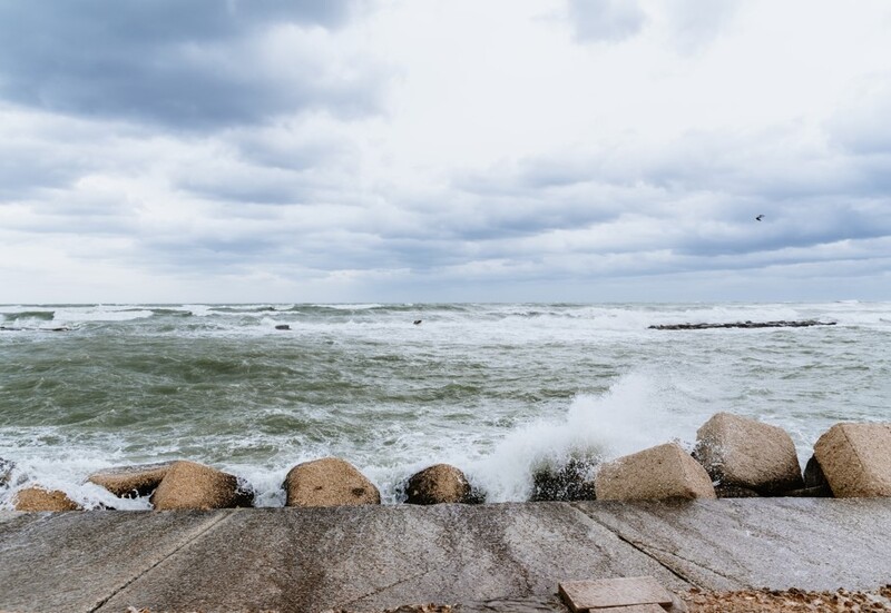
Coastlines are dynamic environments that constantly change due to the action of waves, tides and currents. Among the most fascinating depositional landforms found along coastlines are spits and bars. These features demonstrate how the sea transports and deposits material, creating new landforms that evolve over time.
Key Definitions:
- Spit: A finger-like ridge of sand or shingle projecting from the land into the sea, usually with one end attached to the mainland and the other end in open water.
- Bar: A ridge of sand or shingle that completely connects two headlands or connects the mainland to an island.
- Longshore Drift: The process by which material is transported along a beach by waves approaching at an angle.
- Deposition: The process where transported material is dropped or left behind when the energy of the transporting medium decreases.
🌊 Spit Formation
Spits form where the coastline changes direction and longshore drift continues to transport material out into open water. As the material extends into deeper water or areas with different current patterns, it often curves to form a hook shape. The end of a spit may develop a salt marsh in its sheltered area.
🏊 Bar Formation
Bars develop when a spit grows all the way across a bay to connect two headlands or the mainland to an island. This creates a barrier that can enclose a body of water called a lagoon. Bars typically form where there's a steady supply of sediment and consistent longshore drift patterns.
The Process of Longshore Drift
Longshore drift is the key process behind the formation of spits and bars. Understanding how it works is essential to explaining these coastal features.
How Longshore Drift Works
When waves approach a beach at an angle, they push material up the beach at the same angle. However, when the water flows back to the sea (backwash), it moves straight down the beach under the influence of gravity. This creates a zig-zag movement of material along the coastline.
💨 Step 1: Swash
Waves approach the beach at an angle, carrying material up the beach in the direction of the wave.
💧 Step 2: Backwash
Water returns to the sea directly down the beach slope under gravity, taking material with it.
➡ Step 3: Movement
The net result is material moving along the beach in a zig-zag pattern in the direction of the prevailing wind and waves.
Stages of Spit Formation
Spits don't form overnight they develop through a series of stages over many years or even centuries.
1️⃣ Initial Stage
Longshore drift moves material along the coast. When the coastline changes direction (like at a river mouth or bay), the material continues to be deposited in the same direction, extending out into the sea.
2️⃣ Growth Stage
As more material is added, the spit grows longer. The end often curves due to wave refraction (bending) around the tip, creating the characteristic hook or recurved end.
3️⃣ Maturation Stage
The sheltered area behind the spit becomes a haven for salt-tolerant plants. Salt marshes may develop and the spit may become more stable as vegetation helps to anchor the deposited material.
Features of Mature Spits
A fully developed spit has several distinctive features that geographers can identify:
- Main Ridge: The primary body of the spit, made up of sand or shingle.
- Recurved End: The hooked or curved tip, formed by wave refraction.
- Salt Marsh: Muddy, vegetated areas in the sheltered water behind the spit.
- Dunes: Wind-blown sand deposits that may form on top of the spit, adding height and stability.
Case Study Focus: Spurn Point, UK
Spurn Point is a classic example of a spit located on the northeast coast of England, at the mouth of the Humber Estuary. It extends for about 5.5 km and is only 50 metres wide in places. Longshore drift carries material southward along the Holderness Coast, which has one of Europe's fastest eroding coastlines. This eroded material feeds the growth of Spurn Point.
The spit has several recurved ends showing its development over time. In recent years, parts of Spurn Point have been breached during storms, temporarily turning it into a tidal island. This demonstrates the dynamic nature of these landforms and their vulnerability to climate change and sea-level rise.
Bar Formation and Examples
When a spit grows all the way across a bay or connects to another landmass, it becomes a bar. Bars create enclosed water bodies called lagoons, which often become important wildlife habitats.
🌍 Chesil Beach, UK
Chesil Beach in Dorset is one of the world's most famous examples of a bar. It stretches for 18 km from West Bay to Portland, enclosing the Fleet Lagoon. What makes Chesil Beach particularly interesting is that the pebbles are sorted by size, with the smallest at the western end and the largest at the eastern end.
🏜 Slapton Sands, UK
Slapton Sands in Devon is another notable bar that encloses Slapton Ley, the largest natural freshwater lake in southwest England. The bar is made up of shingle and is about 3 km long. It's an important wildlife habitat and has significant historical importance as the site of Operation Tiger during World War II.
Human Impacts and Management
Spits and bars are valuable coastal features that face various threats from human activities and natural processes.
🚧 Threats
Sea-level rise, increased storm frequency due to climate change, coastal development and interruption of sediment supply (e.g., by sea walls or groynes) can all threaten the stability of spits and bars.
🛡 Protection
Many spits and bars are protected as nature reserves or Sites of Special Scientific Interest (SSSIs) due to their unique habitats and geological importance.
📈 Management
Approaches include beach nourishment (adding new material), managed retreat (allowing natural processes to occur) and restricting development in vulnerable areas.
Case Study Focus: Hurst Castle Spit, UK
Hurst Castle Spit in Hampshire extends 2.5 km into the Solent and has been actively managed since the 1930s. Without intervention, the spit would have been breached multiple times. Management techniques have included:
- Beach nourishment with 90,000 tonnes of shingle
- Rock armour to protect the most vulnerable sections
- Regular monitoring and maintenance
Despite these efforts, parts of the spit and the historic Hurst Castle suffered damage during storms in 2021, highlighting the ongoing challenges of managing these dynamic landforms in the face of climate change.
The Importance of Spits and Bars
These coastal landforms are significant for several reasons:
- Ecological Value: They create sheltered environments like lagoons and salt marshes that support diverse wildlife, especially birds and specialised plant species.
- Coastal Protection: They act as natural barriers against wave action, protecting the coastline behind them.
- Economic Value: Many spits and bars attract tourists and support recreational activities like birdwatching, fishing and water sports.
- Scientific Interest: They provide valuable insights into coastal processes and how coastlines respond to changes in sea level and climate.
Summary: Key Points to Remember
When studying spits and bars for your iGCSE Geography exam, remember these essential points:
💡 Formation Process
Spits and bars form through longshore drift when material is transported along a coast and deposited where the coastline changes direction or energy levels drop. Spits have one end attached to land and one in open water, while bars connect two headlands or a headland to an island.
📝 Exam Tips
Be able to draw and label diagrams showing spit and bar formation. Know specific examples like Spurn Point and Chesil Beach. Understand how human activities and climate change affect these landforms and the management strategies used to protect them.