🌧 Heavy rain and flooding
Long spells of rain, or sudden downpours, can make rivers burst their banks and flood towns and farmland.
Sign up to access the complete lesson and track your progress!
Unlock This Course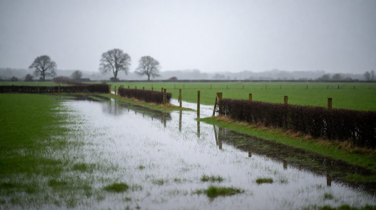
Flat, low-lying land like the Somerset Levels flooded for weeks in early 2014
The UK does not have hurricanes, but its weather can still be dangerous. Because the UK sits in the path of the westerlies, it gets a constant stream of weather systems from the Atlantic. Some of these become hazards.
Long spells of rain, or sudden downpours, can make rivers burst their banks and flood towns and farmland.
Deep low pressure systems bring gales that knock down trees, damage roofs and cut power lines.
Heavy snow and ice close roads, rail lines and schools, and are dangerous for older people.
Long hot, dry spells cause water shortages, crop damage and health problems. Wildfires can start on dry moorland.
Fog, thunderstorms with lightning, and hail are other UK weather hazards. Each one can affect people, homes, businesses and the environment.
Key terms:
The Somerset Levels are a large, flat area of low-lying land in south-west England. Much of the land is only just above sea level. The rivers Parrett and Tone drain across it towards the Bristol Channel. When these rivers fill up, the water has nowhere to go.
In the winter of 2013-14, a long run of storms crossed the Atlantic and hit southern England. It was one of the wettest winters on record. Large areas of the Levels flooded and stayed under water for weeks.
A series of Atlantic storms brought very heavy rainfall, and the ground was already soaked, so extra water ran straight off. The land is flat and low, so water drains away slowly. High tides and strong winds also made it harder for the rivers to flow out to sea.
The beds of the rivers Parrett and Tone had filled with silt, so they could hold less water. Many people argued that the rivers should have been dredged earlier. Others said dredging alone would not have stopped a flood this big.
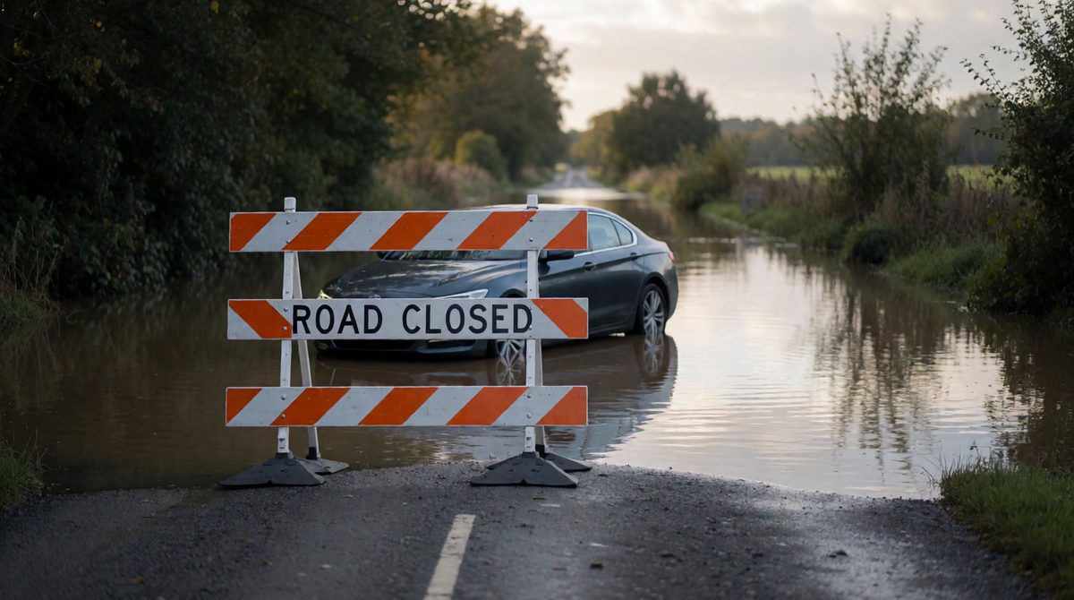
The Somerset floods cut off villages and closed roads for weeks
Hundreds of homes were flooded and some people had to leave. Villages such as Muchelney were cut off for weeks. Roads were closed, so people struggled to reach work, school and shops. Flooding is stressful, and many people worried about their health and their homes.
Farmers lost grazing land and had to move livestock. Businesses lost customers. Repairing homes, roads and farms cost a lot of money.
Wildlife habitats were damaged. The floodwater was polluted with sewage, oil and farm waste, which spread across the land. Once the water drained, it left behind mud and silt.
Do not write that the floods were caused only by heavy rain. Examiners want you to link physical causes (rain, flat land, tides) and human factors (silted rivers). Also keep social, economic and environmental impacts separate. Money lost belongs in economic, not social.
After the floods, many people were angry about how long the water stayed. A number of strategies were used to reduce the risk of the same thing happening again.
Cause: the river beds had filled with silt, so they held less water. Strategy: dredging. Reason it helps: a deeper channel carries more water, so the river is less likely to burst its banks. Limit: it cannot stop a flood when huge amounts of rain fall quickly.
Many scientists say that it is. The evidence includes:
Be careful. A few events do not prove a trend. Scientists look at long-term records over many years. Even so, more frequent extreme events are why flood and heat planning matters so much.
(a) Name two types of weather hazard that affect the UK. [2 marks]
(b) Explain why the Somerset Levels flooded in 2014. [4 marks]
(c) Describe one management strategy used to reduce flood risk on the Somerset Levels. [2 marks]
(a) Any two of: flooding / heavy rain, storms and strong winds, snow and ice, heatwaves and drought (1 each).
(b) There were many Atlantic storms and very heavy rainfall in the winter of 2013-14 (1). The ground was already saturated, so water ran off into the rivers (1). The Levels are flat and low-lying, so water drains away slowly (1). The rivers Parrett and Tone had silted up and held less water, and high tides stopped the water leaving (1).
(c) Dredging of the rivers Parrett and Tone was carried out (1) so that the channels could hold more water and be less likely to flood (1).
In an 'explain' question, each mark point needs a reason. Use linking words such as 'because' and 'so' to turn a fact into an explanation.