⛰ North and west
Higher, rockier and wetter. Think Scotland, northern England, Wales and the south west peninsula. Rocks here are generally older and harder.
Sign up to access the complete lesson and track your progress!
Unlock This Course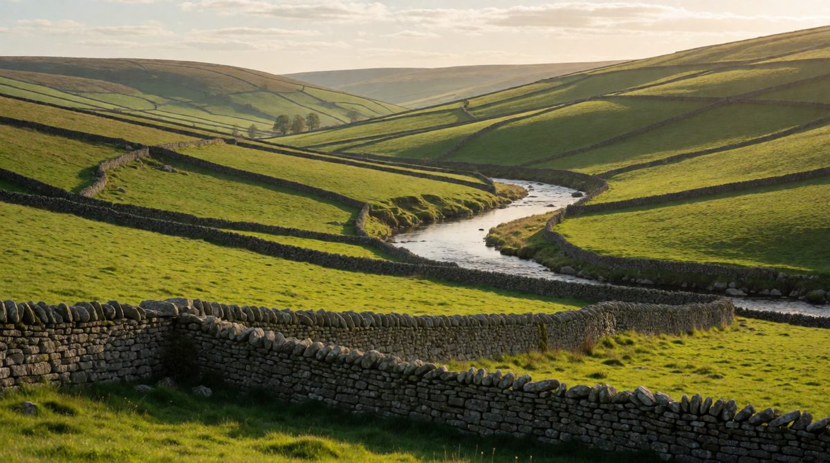
The UK's uplands are mostly in the north and west, the lowlands in the south and east
The UK is a small country, but its landscapes are very varied. In a single day you could travel from a wild, rocky mountain to a flat field of wheat, or from a deep valley to a sandy beach. This is what the AQA spec means when it says the UK has a range of diverse landscapes.
In this lesson you get the big picture: where the high ground is, where the low ground is, and where the main rivers flow. Later lessons explain how the landforms were made.
Key terms:
A simple rule works well for the UK: the north and west are mostly upland, and the south and east are mostly lowland.
Higher, rockier and wetter. Think Scotland, northern England, Wales and the south west peninsula. Rocks here are generally older and harder.
Lower, flatter and drier. Think East Anglia, the Midlands plain and south east England. Rocks here are generally younger and softer.
There are exceptions, which is why you need to learn the named areas below.
You should be able to place these on a blank map of the UK.
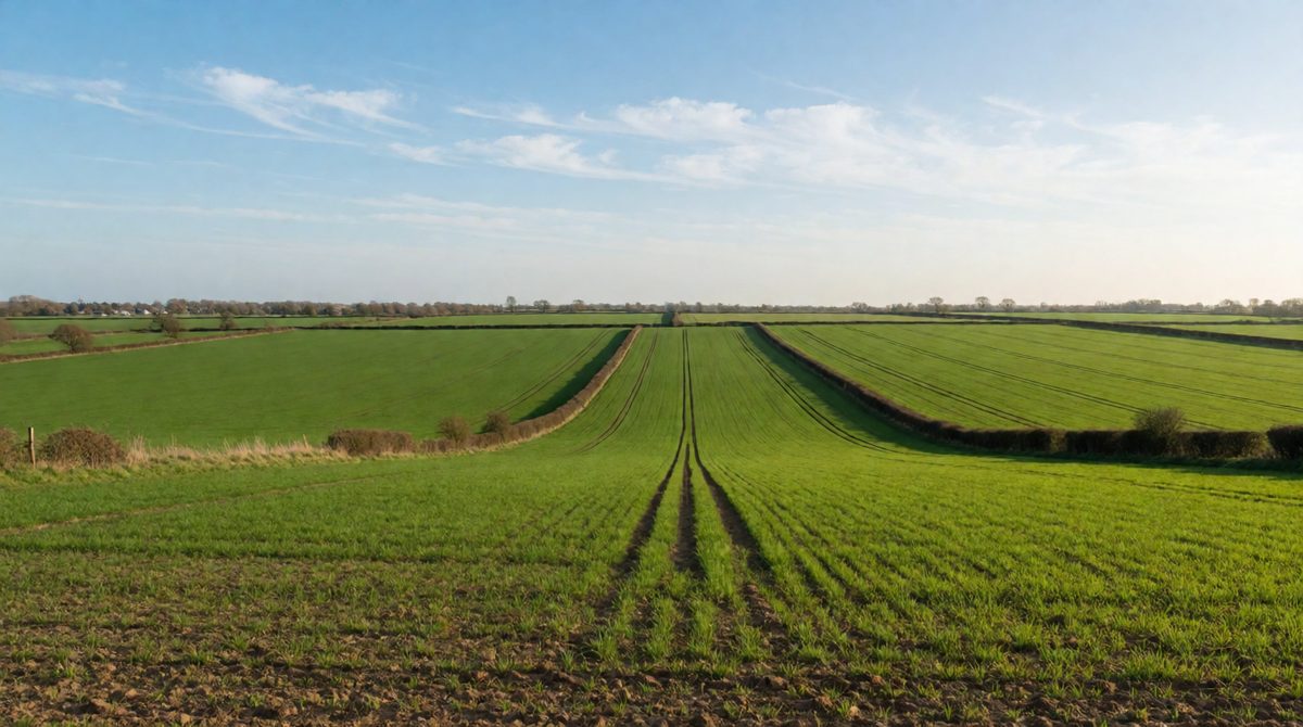
Lowland areas like East Anglia are flat and good for farming
Lowlands are easier to build on and farm, so most of the UK's big cities and arable (crop) farmland are found there. Uplands are better for grazing sheep, forestry, reservoirs and tourism.
Rivers usually begin in the uplands, where rain falls heavily, and flow downhill across the lowlands to the sea.
River Severn: the longest river in the UK, about 354 km. It flows from the mountains of Wales through western England to the Bristol Channel.
River Thames: about 346 km. It flows east through Oxford and London to the North Sea.
River Trent: flows north east through the Midlands to join the Ouse and form the Humber estuary, where the river meets the sea.
River Mersey: flows west to the Irish Sea near Liverpool.
River Tyne and River Tees: flow east from the Pennines to the North Sea.
River Great Ouse: flows across the flat Fens to the North Sea.
River Bann (Northern Ireland): flows through Lough Neagh to the north coast.
River Clyde: flows through Glasgow to the west coast.
River Forth: flows east through the Central Lowlands to the North Sea.
River Tay: the longest river in Scotland, flowing east to the North Sea.
Rivers in the east mostly flow to the North Sea. Rivers in the west flow to the Irish Sea, the Atlantic or the Bristol Channel. The higher land in the west pushes many rivers east.
Exam questions often show a relief map of the UK and ask you to describe it. Use a simple method:
Saying that the UK is all hilly or all flat. Always describe both. Another mistake is placing the Lake District in Wales, or putting the Pennines in the south. Learn the compass position of each area.
Study a relief map of the UK.
(a) Name one upland area in England and one lowland area in England. [2 marks]
(b) Describe the pattern of upland and lowland areas in the UK. [2 marks]
(c) Name the longest river in the UK and state where it flows. [2 marks]
(a) Upland: the Pennines or the Lake District (1). Lowland: East Anglia or the Fens (1).
(b) The highest land is in the north and west, such as the Scottish Highlands and Snowdonia (1). The lowest land is in the south and east, such as East Anglia and the London Basin (1).
(c) The River Severn (1). It flows from the mountains of Wales through western England to the Bristol Channel (1).
In part (b), name places from both the north and west, and the south and east. A pattern needs both sides to score both marks.