⛰ Upper course
The valley is narrow and steep sided, shaped like a V. The channel is narrow and shallow. The bed is rocky, with large, angular stones.
Remember, in AQA GCSE Geography you study two of the three landscape topics: coasts, rivers and glacial landscapes. This lesson starts the rivers topic. If your class is not studying rivers, you can skip ahead.
Sign up to access the complete lesson and track your progress!
Unlock This Course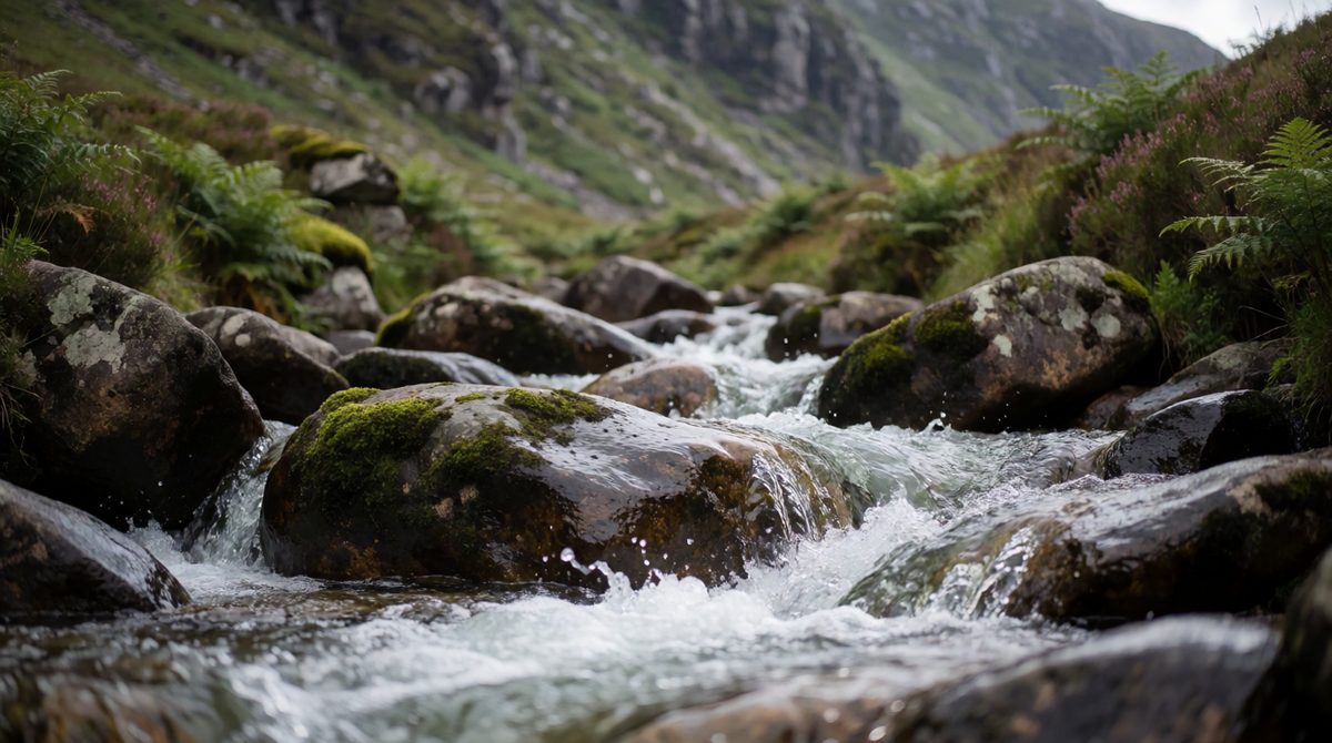
In the upper course the river is narrow and steep, with lots of vertical erosion
A river starts at its source, often high up in the hills. It ends at its mouth, where it flows into a sea or lake. The river runs in a channel, which sits in a larger valley.
Imagine slicing along the river from source to mouth and looking from the side. That view is the long profile. It is a smooth curve that starts steep and gets flatter.
Tributaries join the river on the way, so the amount of water in the channel gets bigger as you go downstream.
Key terms:
Now imagine slicing across the river and valley, from one side to the other. That view is the cross profile. It changes a lot as the river flows downstream.
The valley is narrow and steep sided, shaped like a V. The channel is narrow and shallow. The bed is rocky, with large, angular stones.
The valley is wide and flat. The channel is wide and deep. The valley floor is a broad flat area of land, and the stones are small and rounded.
In the middle course the valley and channel are in between. The channel gets wider and deeper, the valley sides become gentler and the bed has smaller stones.
Notice the pattern. The river gets bigger downstream, with a wider and deeper channel, a gentler gradient and a flatter valley. The next lesson, Waterfalls, Gorges and Interlocking Spurs, shows the landforms that appear along the way.
Remember, erosion is the wearing away of the land. Abrasion and attrition work in rivers in a similar way to the coast. Rivers erode in four main ways.
Attrition only changes the stones in the river. It does not wear away the bed or banks. Hydraulic action, abrasion and solution wear away the channel.
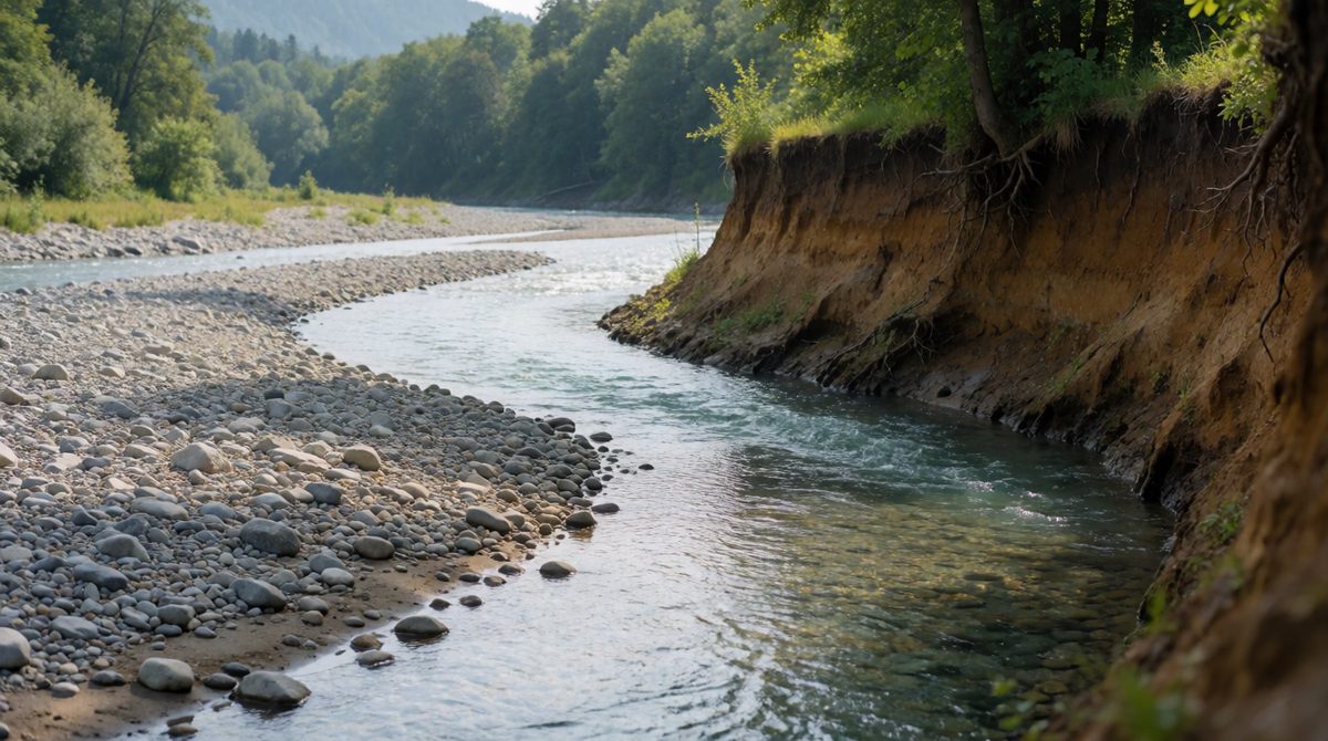
Lateral erosion widens the valley as the river cuts into its banks
Rivers can erode in two directions.
This is why the upper valley is a narrow V shape and the lower valley is wide. Early on the river cuts down. Later it cuts sideways.
Rivers carry the material they have eroded. This is transportation. The size of the material decides how it is moved.
A fast, deep river after heavy rain can carry larger stones than a slow one. This is why a flooded river often looks brown and can roll boulders along its bed.
Deposition happens when a river no longer has enough energy to carry its load. Rivers deposit sediment when:
The biggest and heaviest stones are dropped first. The smallest particles are carried the furthest. The landforms made by deposition are covered in Meanders, Ox-bow Lakes, Levees and Flood Plains.
Saying the upper course has a wide, flat valley. It is steep and V shaped. Another mistake is mixing up attrition and abrasion. Abrasion is the load wearing away the bed and banks. Attrition is the load wearing itself down. Finally, do not say rivers deposit because they have too much energy. They deposit when they lose energy.
(a) Describe how the cross profile of a river valley changes from the upper course to the lower course. [2 marks]
(b) Explain why a river deposits sediment near its mouth. [2 marks]
(c) Describe how a river transports large boulders. [1 mark]
(a) In the upper course the valley is narrow and steep sided, shaped like a V (1). In the lower course the valley is wide and flat, and the channel is wider and deeper (1).
(b) The river slows down as it meets the sea or a lake (1). With less energy it can no longer carry its load, so it drops its sediment (1).
(c) By traction, where they are rolled along the river bed (1).
For a "describe how it changes" question, use words that compare, such as "narrower", "wider" and "steeper", and always give both ends: the upper course and the lower course.