🌊 Outside of the bend
The fastest, deepest water is pushed towards the outside of the bend. This water has the most energy, so it erodes the bank sideways (lateral erosion). The bank is undercut and collapses, leaving a steep river cliff.
Sign up to access the complete lesson and track your progress!
Unlock This Course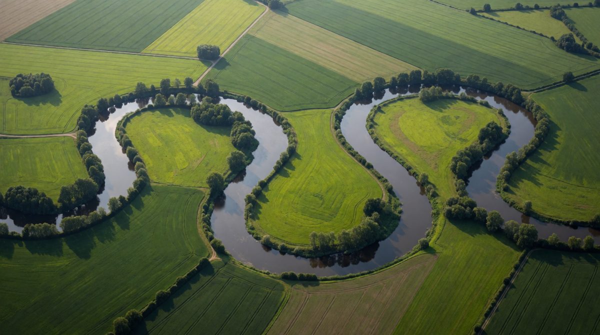
Meanders form as the river erodes the outside bend and deposits on the inside
As a river moves into its middle and lower course, it stops flowing in a straight line. It starts to swing from side to side in large bends. These bends are called meanders. You can see them clearly on a map or in a photo taken from above.
A meander is shaped by erosion and deposition working at the same time on opposite sides of the river.
Key terms:
The fastest, deepest water is pushed towards the outside of the bend. This water has the most energy, so it erodes the bank sideways (lateral erosion). The bank is undercut and collapses, leaving a steep river cliff.
The water on the inside of the bend is slow and shallow. It does not have enough energy to carry its load, so sand and gravel are dropped (deposition). Over time the deposits build a gentle slip-off slope.
Because the outside bank is eroded and the inside bank is built up, the bend becomes more curved and slowly moves sideways across the valley. The river's channel gets longer and more winding.
Meanders do not stay the same for ever. The outside bends keep eroding, so two neighbouring bends move closer together. The narrow piece of land between them is called the neck.
An ox-bow lake forms in these steps:
Key term: ox-bow lake: a curved lake left when a meander is cut off from the river.
Over many years an ox-bow lake slowly dries out and fills with silt and plants. This leaves a curved marshy area that shows where the river used to flow.
Many students say the river is deeper on the inside of the bend. It is the outside bend that is deep and fast. Also, do not say the neck is cut by deposition. The neck is cut by erosion, and deposition then seals the old bend to make the lake.
A flood plain is the flat, wide area of land on either side of a river that is covered with water when the river floods. It forms in the lower course in two ways:
Key terms:
Flood plains have fertile soil because of the silt left by floods. This is why they are often used for farming.
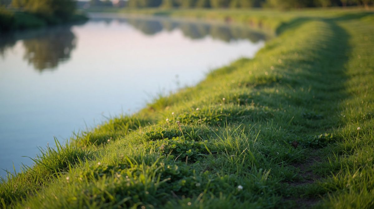
Levees are natural raised banks built up by floods dropping sediment
Levees are natural raised banks along the edges of a river. They form in the lower course during floods.
The result is a long, low ridge on each side of the river. Levees help to hold the river in its channel, so it takes a bigger flood to spill over.
Picture a cross section across a lower course river. The river sits in its channel. Next to it, on each side, there are small ridges, which are the levees. Beyond them is a wide, flat flood plain. The ridges are made of coarser material and the flat land is made of fine silt.
An estuary is the wide, tidal part of a river where it meets the sea. The river is very slow here, and the tide pushes water back up the river twice a day.
Deposition is very important in an estuary:
The Severn estuary in the south west of the UK is a large example, with wide mud flats at low tide.
Key terms:
River cliffs, a wider valley and a narrowing meander neck.
Slip-off slopes, levees, flood plains, mud flats and the seals on an ox-bow lake.
Floods cut off meanders, and build levees and flood plains.
(a) Describe two features of a meander. [2 marks]
(b) Explain how an ox-bow lake is formed. [4 marks]
(c) Explain how levees are formed on a river's flood plain. [3 marks]
(a) A meander has a steep river cliff on the outside of the bend (1) and a gentle slip-off slope on the inside of the bend (1).
(b) Erosion on the outside of a bend makes the neck of land narrower (1). In a flood, the river breaks through the neck and takes the shortest route (1). Deposition then seals the ends of the old bend (1), leaving a curved lake cut off from the river (1).
(c) When the river floods, it spills over its banks and slows down (1). The heaviest material is dropped first, next to the channel (1). Over many floods, this builds up the banks into raised ridges called levees (1).
For a 4 mark 'explain how' question, write a clear sequence of steps and use the key words erosion, deposition and neck. Do not just name the landform.