🏖 High Force
High Force is a waterfall of about 21 m, one of the biggest in England. The hard rock is a layer of dolerite called the Whin Sill, which lies over softer limestone. This is the same hard over soft pattern you met in the last lesson.
Sign up to access the complete lesson and track your progress!
Unlock This Course
The River Tees flows from the Pennines to the North Sea
You now know how rivers shape the land. The exam also asks you to use an example of a river valley in the UK to identify its major landforms of erosion and deposition. In this lesson the example is the River Tees in northern England.
The Tees starts high in the North Pennines, near Cross Fell, and flows about 137 km east to the North Sea near Middlesbrough. Along the way it passes through almost every landform you have met. You can follow it from the hills to the coast.
Key terms:
Near its source the Tees is small, steep and fast. It cuts down into the land with vertical erosion, so the valley is narrow and V shaped. Here you find the landforms of erosion.
High Force is a waterfall of about 21 m, one of the biggest in England. The hard rock is a layer of dolerite called the Whin Sill, which lies over softer limestone. This is the same hard over soft pattern you met in the last lesson.
Downstream of High Force the river runs through a steep sided gorge. It is the narrow channel left behind as the waterfall retreated upstream.
Further upstream, the river tumbles over a steep rocky stretch at Cauldron Snout. Interlocking spurs are also found in the upper valley, where the river winds around them.
As the Tees flows east, the valley opens out and the land flattens. The river carries more water and has more load. Sideways erosion becomes more important than downward erosion.
In the exam, name the landform AND where it is. "High Force waterfall in the upper Tees" earns marks. "A waterfall in the upper course" on its own does not use the example.
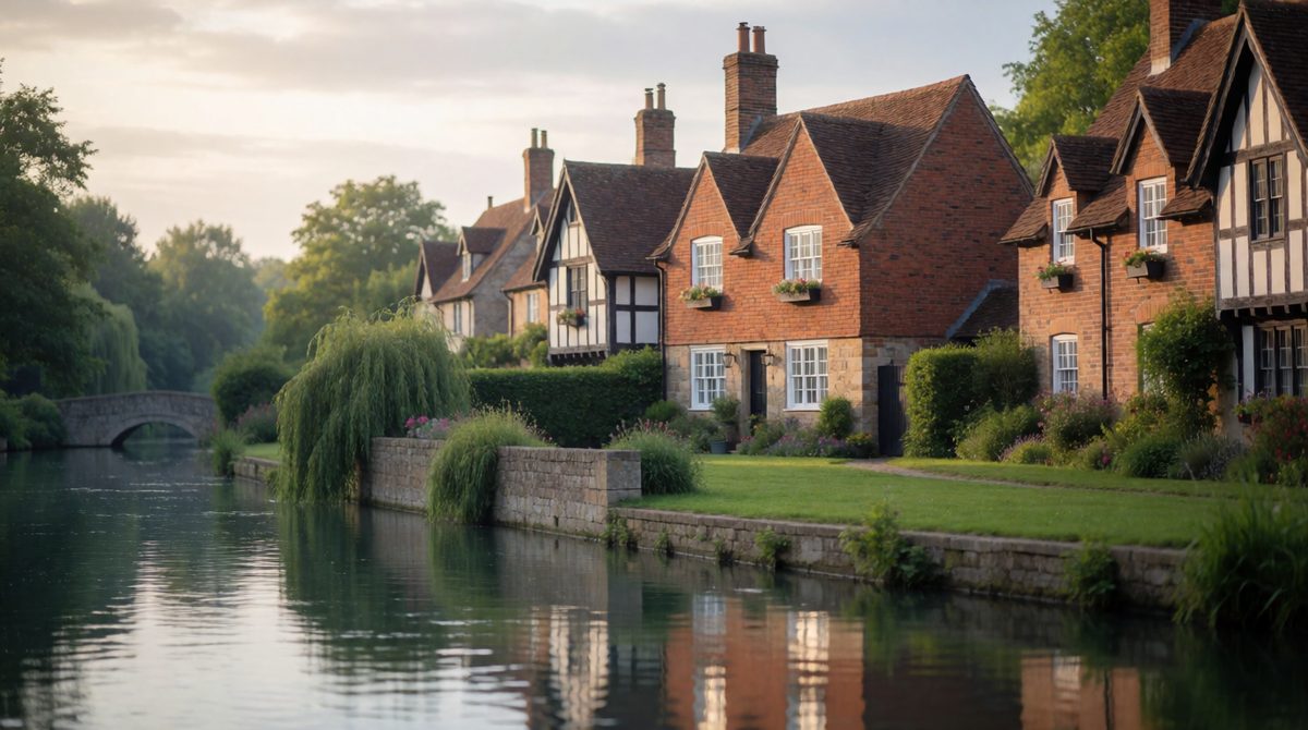
Flood risk is higher where many homes are built close to the river
A flood happens when a river carries more water than its channel can hold, and the water spills onto the flood plain. Flood risk depends on how likely a flood is and how many people and buildings are in the way.
The Tees valley contains towns such as Barnard Castle, Darlington, Yarm, Stockton and Middlesbrough. Most are on or near the flood plain, so flood risk matters to many people. Two sets of factors decide how risky a river is: physical factors and human factors.
Heavy rain, or long periods of rain, send lots of water to the river quickly. Snow melting suddenly can do the same. Rain falling on soil that is already full of water runs straight into the river.
Impermeable rock does not let water soak in, so it runs over the surface into the river. Permeable rock lets water soak through, so the river rises more slowly.
On steep slopes water runs downhill fast and reaches the river quickly. On gentle slopes it moves slowly, so there is less chance of a sudden flood.
The upper Tees has high rainfall and steep slopes, and much of the upland soil and rock does not let water through easily, so water reaches the river fast. A flood in the hills can then travel downstream to the towns on the flood plain.
People can make flooding more likely through land use.
Building houses on the flood plain also increases flood risk, because more people and buildings are in the path of the water.
Question: why might a heavy storm cause a flood in Middlesbrough but not on a quiet moor?
Answer: the moor has plants and soil that soak up water. Middlesbrough has many impermeable surfaces and drains, so water runs off quickly into the river. It is also built on low land near the river, so more people are at risk.
Saying that a flood happens "because of a lot of water". Always say how the factor makes the water reach the river faster, such as "impermeable rock means water runs over the surface". Another mistake is mixing up flood risk with the flood itself.
(a) Name one landform of erosion on the River Tees and describe where it is found. [2 marks]
(b) Explain how land use can increase the flood risk of a river. [3 marks]
(a) High Force waterfall (1) in the upper course of the Tees, near its source in the North Pennines (1).
(b) Urban surfaces such as roads and roofs are impermeable (1). Water cannot soak into the ground (1), so it runs quickly through drains into the river, which then overflows (1).
In part (b) the word "explain" needs a chain of cause and effect. Write: surface, then what water does, then what happens to the river.