Landforms of deposition
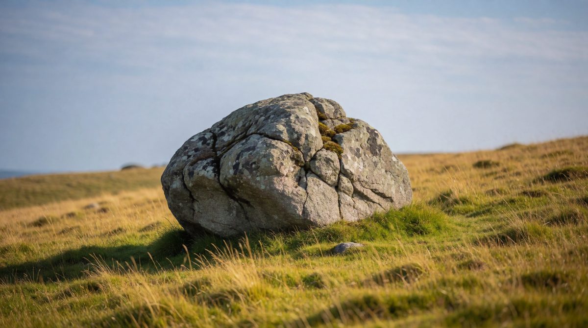
Erratics are boulders carried by ice and dropped far from where they started
Glaciers carry huge loads of rock and soil. When the ice melts or slows down, it drops this load. The material left behind is called till, and it makes new landforms. These are landforms of deposition.
Key terms:
- Erratic: a large boulder carried by ice and dropped in an area with a different type of rock.
- Drumlin: a smooth, oval hill made of till, shaped like an upturned boat.
- Moraine: a ridge or sheet of till left behind by a glacier.
Erratics
An erratic is a boulder that does not belong. It sits on rock of a different type from itself. Ice picked it up by plucking or frost action, carried it for many kilometres, and left it behind when the ice melted.
Example
Shap granite is a pinkish rock from near Shap in Cumbria. Boulders of it were carried by ice and left on completely different rocks. They are erratics.
Erratics are useful clues. If you find a boulder of one rock sitting on another, you can tell that ice must once have moved through the area, and you can work out which way it travelled.
Drumlins
⛰ Characteristics
Smooth, oval hills made of till. They look like an upturned boat. They usually appear in groups, often called a "basket of eggs" landscape. The steeper, blunt end faces the direction the ice came from. The gentler, tapered end points the way the ice went.
❄ Formation
A glacier carries a load of till. As the ice slows or its base melts, it can no longer carry it all. Till is dropped and moulded by the moving ice above into a streamlined oval shape.
Drumlins form in lowland areas where the ice spread out, not high on the mountain tops.
Types of moraine
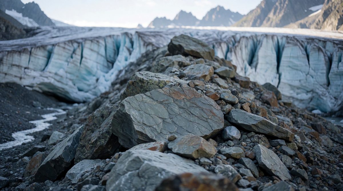
Moraines are piles of material dropped by a melting glacier
Moraine is a general word for till that ice has dropped. It is named by where it is found.
▲ Lateral moraine
A ridge of material along the side of a glacier. It comes from freeze-thaw weathering of the valley sides, which sends rock falling onto the ice. When the ice melts, the ridge is left along the valley side.
▶ Medial moraine
A ridge down the middle of a glacier. It forms where two glaciers join and their two lateral moraines merge into one line.
■ Terminal moraine
A ridge across the valley at the end of the glacier. It marks the furthest point the ice reached. It is formed from material bulldozed forward and dropped when the ice stopped moving forward and melted.
▬ Ground moraine
A sheet of till spread under the glacier and across the valley floor. It is dropped as the ice melts and retreats, leaving a rough, uneven layer.
Common mistakes
Students often mix up lateral (side) and medial (middle) moraine. Remember: medial means middle. Another mistake is calling a drumlin a landform of erosion. Drumlins are made of dropped material, so they are deposition. Erratics are not moraine: they are single large boulders.
The Lake District
You need to know one UK upland area that was shaped by glaciation. The Lake District, in Cumbria in north-west England, is a good choice. It was covered by ice during the last ice age. Ice flowed outwards from the high central area, like the spokes of a wheel. It left a landscape full of the landforms you have met in the last two lessons.
Landforms of erosion
- Helvellyn: a high mountain of about 950 metres. Ice has cut away its eastern side, leaving corries below the summit.
- Red Tarn: a small lake that sits in a corrie on the eastern side of Helvellyn. A tarn is a lake in a corrie.
- Striding Edge: a narrow, steep-sided arête on Helvellyn. It was made as ice eroded the corries on either side, leaving a sharp ridge between them.
- Windermere and Ullswater: long, narrow ribbon lakes lying in glacial troughs.
- U-shaped valleys: glacial troughs, such as Great Langdale, with steep sides and flat floors.
Landforms of deposition
- Moraine deposited across and along valleys as the ice melted and retreated.
- Drumlins in lowland areas around the edge of the Lake District, where the ice spread out and dropped its load.
- Erratics such as Shap granite, carried away from where they formed and left on other rocks.
Exam skill: identifying landforms
In a map or photograph question, look for clues. A rounded hollow with a lake high on a mountain is a corrie. A thin sharp ridge between two hollows is an arête. A long thin lake in a straight, steep-sided valley is a ribbon lake. A cluster of oval hills in lowland is a group of drumlins. Always say what you see, then name the landform, then give one reason.
Exam-style question
Study the Lake District as an example of a UK upland area affected by glaciation.
(a) Name one landform of glacial deposition. [1 mark]
(b) Describe the characteristics of a drumlin. [2 marks]
(c) Explain how a terminal moraine forms. [3 marks]
Model answer
(a) Drumlin, erratic or moraine (1).
(b) It is a smooth, oval hill (1) made of till and shaped like an upturned boat (1).
(c) A glacier bulldozes and carries material forward (1). When the ice stops moving forward and melts, it drops its load at the furthest point (1). This leaves a ridge across the valley (1).
Exam tip
On "explain how" questions, write the steps in order, using words like "then" and "when". Do not just describe what the landform looks like.