📝 Unfamiliar fieldwork
Questions based on fieldwork materials from an unfamiliar context. You are shown data, maps or methods from a place you have never studied. You must apply what you know about the enquiry process.
Sign up to access the complete lesson and track your progress!
Unlock This Course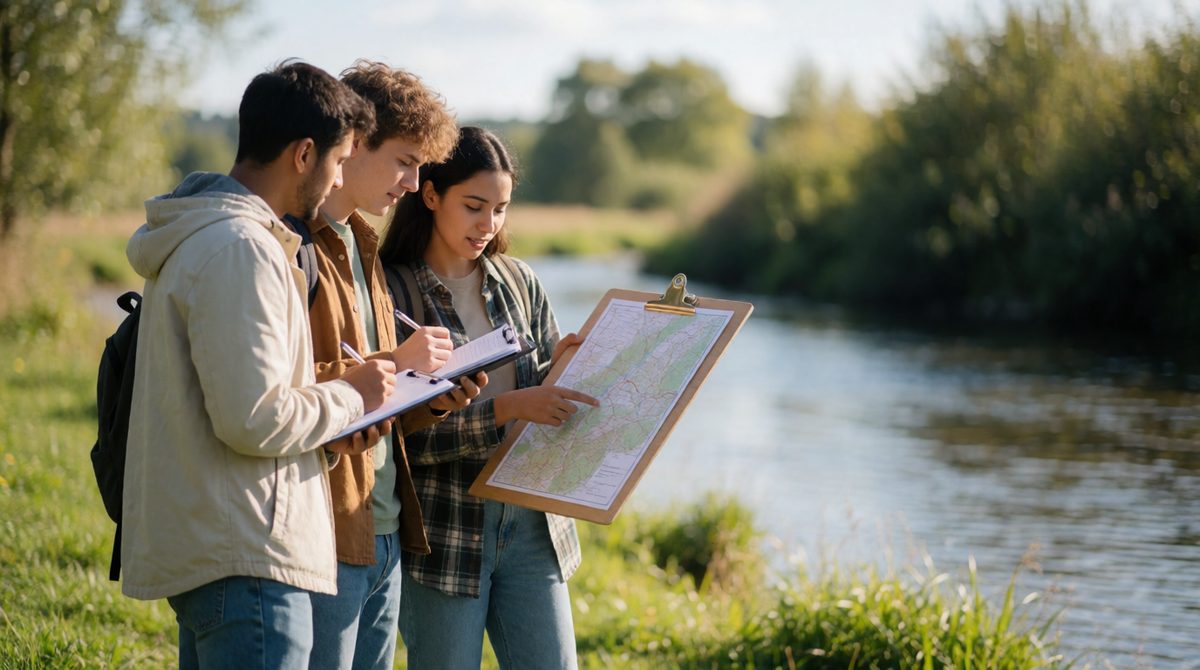
Planning a fieldwork enquiry starts with a clear question
Fieldwork means learning geography by going out and seeing it for real. It is an essential part of the course because it lets you relate what you learn to real experiences of the world.
AQA sets clear rules for it:
Each enquiry should link clearly to the subject content. It can be based on any part of the physical or human topics you have studied in this course.
Key terms:
Your understanding of the enquiry process is tested in two ways.
Questions based on fieldwork materials from an unfamiliar context. You are shown data, maps or methods from a place you have never studied. You must apply what you know about the enquiry process.
Questions based on your individual enquiry work. You will have to identify the titles of your own enquiries, so make sure you know them.
You are expected to apply your knowledge to interpret, analyse and evaluate information. You must also select, adapt and use a variety of skills and techniques to investigate questions and communicate findings.
Your school also has a job to do. It must submit a written statement as evidence that the fieldwork took place. It records the date, the location, the number of students taking part, the main questions investigated and the part of the specification the fieldwork is linked to. The Head of Centre signs it.
Every enquiry follows the same six strands:
This lesson covers strand 1: planning. The later strands are taught in the next two lessons.
An enquiry starts with a question or a hypothesis. A good one is focused, can be answered with data you can collect in the time you have, and links to the course content.
Key terms:
"What is a stream like?" You could never collect enough data to answer this, and it has no clear focus.
"How does the width of a stream change as you move downstream?" or the hypothesis "Stream width increases with distance downstream." Both can be tested with measurements.
A human geography example is the hypothesis "The number of pedestrians falls as distance from the town centre increases." It names two things you can measure and a clear pattern to test.
Every enquiry links to a geographical theory or concept
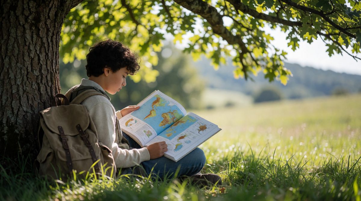
Good enquiries are not random. They test an idea from geography, called the underpinning theory or concept. Your hypothesis should come from it.
When you plan, always be able to say: "I expect this because the theory says..."
You need to choose appropriate sources of evidence, and the places where you will collect it.
Key terms:
Primary: measuring stream depth with a ruler.
Secondary: rainfall records from a weather website.
Primary: counting pedestrians or asking people questions.
Secondary: census data about the area.
Secondary data is often useful to give background and to compare with what you find. Your enquiry must still use primary data.
The location must suit the question. To test how width changes downstream, you need a stream you can safely reach at several points along its length. Choosing the right locations also helps your results to be fair and useful.
Fieldwork can be dangerous, so you must think about the potential risks of both human and physical fieldwork before you go. Then you plan how to reduce each one.
Key terms:
Risk: slipping or falling into fast-flowing water.
Reduce it: wear sensible footwear, work in pairs, and check the water level and weather forecast first.
Risk: traffic when crossing roads, or being approached by strangers.
Reduce it: stay in groups, use pedestrian crossings, and stay in busy public places with a teacher nearby.
Other common risks include bad weather, getting lost, and sun or cold exposure. The ways to reduce them are usually simple: planning, supervision and the right clothing.
Planning an enquiry. Question: does the amount of litter change with distance from a bus stop? Hypothesis: there is more litter closer to the bus stop. Primary data: counting litter items along the street. Secondary data: a council map of bin locations. Risk: traffic. Reduce it: work on the pavement in groups and never step into the road.
Writing a question that is too big to answer in a day. Forgetting to say which theory the enquiry tests. Mixing up primary and secondary data: if someone else collected it, it is secondary. Writing "be careful" as a way to reduce a risk instead of a specific action.
A student plans a fieldwork enquiry into how the width of a stream changes with distance downstream.
(a) Write a suitable hypothesis for this enquiry. [1 mark]
(b) Give one example of primary data and one example of secondary data the student could use. [2 marks]
(c) Describe one risk of carrying out this fieldwork and explain how it could be reduced. [2 marks]
(a) Stream width increases with distance downstream. (1)
(b) Primary: measuring the width of the stream at each site with a tape measure. (1) Secondary: river data from a government website or a published map. (1)
(c) Risk: slipping into fast-flowing water. (1) Reduction: work in pairs, wear suitable footwear and check the water level before going in. (1)
In part (c), always give a pair: a named risk, and then a specific way to reduce that risk. Only naming the risk earns just one mark.