↔ Lines of latitude
These run east to west, like rungs on a ladder. The equator is 0°. Places north of it go up to 90°N (the North Pole). Places south of it go up to 90°S (the South Pole).
Sign up to access the complete lesson and track your progress!
Unlock This Course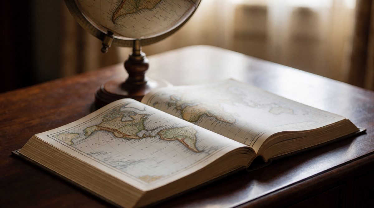
Atlas maps help you describe where places are in the world
An atlas is a book of maps. Atlas maps cover whole countries, continents or the entire world, so they show the big picture. Some are general maps, which show lots of features such as cities, rivers, roads and mountains. Others are thematic maps, which show one topic only, such as population density or earthquakes.
In the exam you may be given an atlas map at a global scale or at another scale, and asked to find, describe and explain what you can see. Three skills do most of the work: using coordinates, describing patterns, and linking physical and human factors.
Key terms:
Remember, latitude is the distance north or south of the equator. Longitude is the second half of the system. Together they make a grid that covers the whole Earth, so any place can be given a pair of coordinates.
These run east to west, like rungs on a ladder. The equator is 0°. Places north of it go up to 90°N (the North Pole). Places south of it go up to 90°S (the South Pole).
These run from the North Pole to the South Pole. The Prime Meridian is 0° and passes through Greenwich in London. Places east of it go up to 180°E. Places west of it go up to 180°W.
Both are measured in degrees (°).
Key terms:
Always give latitude first, then longitude, and always add N or S, and E or W.
Nairobi, Kenya, is at about 1°S, 37°E. That means it is 1 degree south of the equator and 37 degrees east of the Prime Meridian. Sydney, Australia, is at about 34°S, 151°E. Cairo, Egypt, is at about 30°N, 31°E.
To find a place from coordinates, follow the latitude line across and the longitude line up or down. The place is where they cross. London is at about 51°N, 0°, because it sits almost exactly on the Prime Meridian.
Writing longitude before latitude. Leaving off N, S, E or W, which puts the place in the wrong quarter of the world. Mixing up the two: latitude lines run across the map, longitude lines run up and down.

Describe distributions using compass directions and named places
A distribution is where something is found. A pattern is the shape that the distribution makes. Both human features (such as cities and roads) and physical features (such as volcanoes and rivers) have distributions you can describe.
Useful words for patterns:
A strong description has three steps:
Describing is not explaining. Say what the pattern is first. Only give reasons if the question asks "why".
Global and other scale maps may show significant features of the physical and human landscape. You may be asked to identify and describe them:
Population distribution and population movements (often shown by arrows).
Transport networks (roads, railways, airports and ports) and settlement layout (where towns and villages are and how they are arranged).
Relief (the height and shape of the land) and drainage (the rivers and lakes that carry water).
Atlas maps normally use colour to show height. Always check the key first, because the colours change from atlas to atlas.
The top marks go to students who can show that the two sets of features are connected. On a thematic map, compare the pattern of one feature with another and look for an association, which means two things tend to appear together.
Large cities and dense population often sit on coasts and beside rivers, on flat low land with a water supply and ports. Roads and railways often follow river valleys and flat ground.
Few people live in high mountains, hot deserts or very cold polar regions. The land is steep or dry, farming is hard and transport networks are sparse.
To show an association, use evidence from both maps: "The areas with the highest population density are the same low lying areas that sit beside the main rivers."
Writing "there are lots of people" without naming where. Describing only one map when the question asks you to link two. Saying one thing causes another when the map only shows that they appear together.
Study an atlas map of world population density and a map of world relief.
(a) A city is at 41°N, 29°E. State whether it is north or south of the equator, and whether it is east or west of the Prime Meridian. [2 marks]
(b) Describe the pattern of population distribution in Africa as it might be shown on a population density map. [3 marks]
(c) Suggest how physical features can help explain why some areas have very few people. [2 marks]
(a) It is north of the equator because the latitude is N (1). It is east of the Prime Meridian because the longitude is E (1).
(b) Population is clustered along the Mediterranean coast, in the Nile valley and along the Gulf of Guinea coast in West Africa (1). It is sparse in the Sahara in the north and other dry inland areas (1). The pattern is uneven, with dense areas separated by large empty areas (1).
(c) Hot deserts have too little water to farm (1). High mountains are steep and cold, making building and transport difficult (1).
In part (b), name at least two places and use words such as "clustered" and "sparse". Do not just say "lots" or "few".