🗺 1:50 000
A medium scale map. 2 cm on the map is 1 km on the ground. It covers a large area, so it is good for seeing a whole town, valley or stretch of coast.
Sign up to access the complete lesson and track your progress!
Unlock This Course
OS maps use grid references to find exact locations
Ordnance Survey (OS) maps are the official detailed maps of Great Britain. They show the real shape of the land, roads, rivers, buildings and land use. In your exam you may be given an OS map extract and asked to use it. The skills in this lesson are the ones you need to find places and measure on the map.
There are two scales you must know. They show different amounts of detail.
A medium scale map. 2 cm on the map is 1 km on the ground. It covers a large area, so it is good for seeing a whole town, valley or stretch of coast.
A larger scale map. 4 cm on the map is 1 km on the ground. It covers a smaller area but shows more detail, such as individual buildings and field boundaries.
Key terms:
OS maps are covered by a grid of blue lines. Each grid square is 1 km by 1 km on the ground. The lines have two-digit numbers printed along the edges of the map.
A four figure grid reference names a whole grid square. Follow two steps:
A handy memory trick is "along the corridor, then up the stairs". If the easting is 34 and the northing is 71, the grid reference is 3471.
Writing the northing first. Eastings always come first. Another mistake is using the line on the right or the top of the square. Always use the line on the left and the line at the bottom.
A four figure reference only tells you the square. A six figure grid reference pins down a spot inside the square, to within about 100 m. To do this, imagine each square is cut into ten equal strips each way.
A church sits in square 3471. It is 6 tenths of the way across the square and 2 tenths of the way up.
Easting: 34 and 6 tenths gives 346.
Northing: 71 and 2 tenths gives 712.
The six figure grid reference is 346712.
Always give six figures as one number with no spaces or commas. The first three digits are the easting and the last three are the northing. To find a place from a reference, split it into two halves and do the steps backwards.
Scale lets you turn map distances into real distances
Scale is shown on the map as a ratio, such as 1:50 000, and as a scale line (a ruler printed on the map). The ratio 1:50 000 means that 1 cm on the map is 50 000 cm on the ground. That is 500 m, so 2 cm is 1 km.
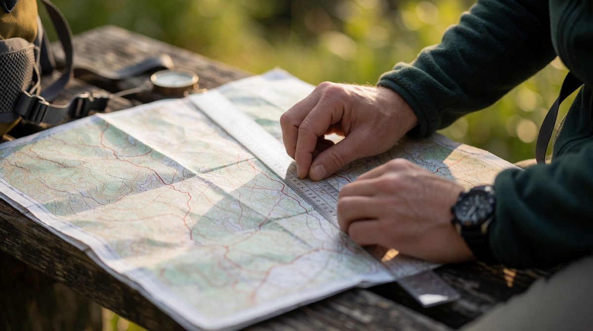
Place the edge of a ruler or a strip of paper between the two points. Measure in cm, then convert using the scale. This is the distance "as the crow flies".
For a road, river or path that bends, lay a piece of string or the edge of paper along it, following every bend. Then hold the string straight against the scale line or a ruler.
On a 1:50 000 map, the road between two villages measures 7.5 cm along the string.
2 cm = 1 km, so 1 cm = 0.5 km.
7.5 x 0.5 = 3.75 km.
On a 1:25 000 map, 4 cm = 1 km, so the same 3.75 km road would measure 15 cm.
Remember that the same real distance looks twice as long on a 1:25 000 map as on a 1:50 000 map. Always check which scale you have before you convert.
OS maps are drawn with north at the top. Direction is given using the points of the compass. There are eight points to know.
To give a direction, start at the place you are going from. Then say which way you must go to reach the place you are going to. If a school is up and to the right of a station on the map, the school is north east of the station. The direction from the school back to the station is the opposite, south west.
Mixing up "from" and "to". Always read the question twice: "direction of the pier from the car park" starts at the car park. Another mistake is working out the direction from the wrong place, which gives the opposite answer.
An OS map uses small symbols instead of words. There is a key on the map and you are expected to use it. Symbols show basic features such as a church with a tower or spire, a public house (PH), a post office (P), a railway station, a campsite, a picnic site, a viewpoint and a car park. Learn to read the key quickly and match the symbol to the feature.
The map also gives you numbers. These are called numerical information. You can use them as evidence in answers.
In a longer answer, use at least one grid reference or measurement. Writing "there are four campsites in squares 3471 and 3472" is stronger than "there are some campsites".
Look at an OS map extract at a scale of 1:50 000. A viewpoint is in grid square 4567. A village hall is in the next square to the east.
(a) Give the four figure grid reference of the square with the village hall. [1 mark]
(b) The viewpoint is 6 tenths of the way across its square and 3 tenths of the way up. Give the six figure grid reference of the viewpoint. [2 marks]
(c) The footpath from the viewpoint to the village hall measures 9 cm along a piece of string. Calculate the real distance in km. [2 marks]
(d) The campsite is north west of the village hall. State the direction of the village hall from the campsite. [1 mark]
(a) 4667 (1). The next square east adds one to the easting only.
(b) Easting 45 and 6 tenths gives 456 (1). Northing 67 and 3 tenths gives 673 (1). Answer: 456673.
(c) At 1:50 000, 2 cm = 1 km (1). 9 cm = 4.5 km (1).
(d) South east (1). It is the opposite of north west.
In part (b), write the easting first and then the northing. Check by saying "along the corridor, up the stairs" and make sure your answer has exactly six digits.